About the Book
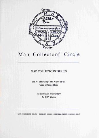
Early Maps and Views of the Cape of Good Hope
History of the mapping of the Cape of Good Hope by navigators rounding the Cape on the way to the East Indies in the C17th and C18th illustrated with thirty-two examples. Paperback. Bears the bookplate of Sir Roy Strong. Good condition. Cat No 3451
£ 9.50
Very Good
Theory & Practice: Ancient Books & Documents
Buy on Amazon Now